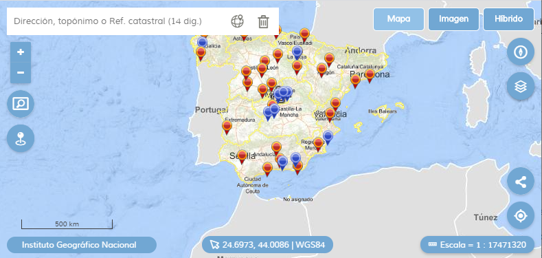
API-CNIG
Development began in 2019 by the National Centre for Geographic Information. It originated with the goal of being the common technological basis for the different tools to view geographical information from the National Geographic Institute.
It uses HTML5, CSS, and JavaScript, based on OpenLayers 6.


Instructional Resources

Plugin for the API-CNIG and MAPEA
A technical presentation describing the creation of plug-ins in the API-CNIG and MAPEA
API-CNIG practice
Guided practice for use of the API-CNIG. Includes already solved exercises

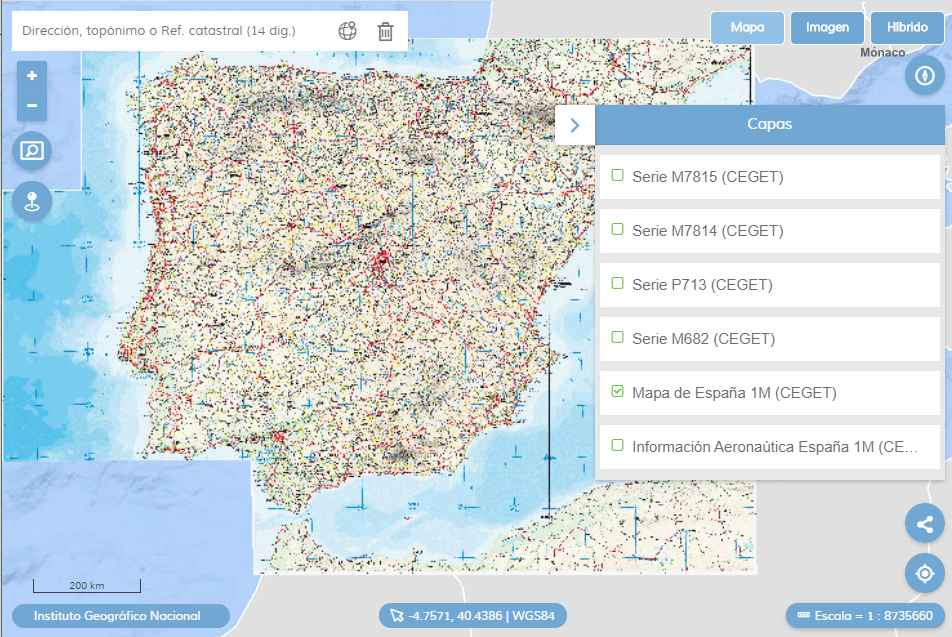
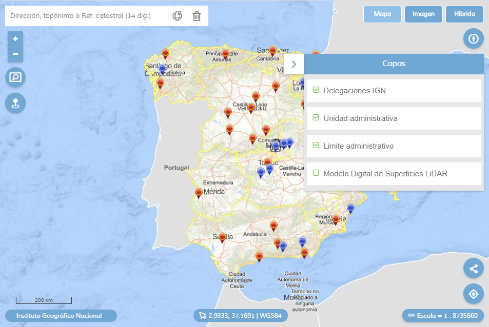
API-CNIG Iberpix 5.0
Iberpix. Novelties and description of Iberpix 5.0 features